Services
Survey Services
Land and measured building survey services across Cumbria and the Lake District.
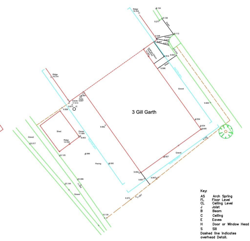
Topographic Survey
Topographic surveys capture the existing conditions of a site — levels, boundaries, trees, services, and built features — to inform planning, design and construction.
What you get
- Topographic survey drawings in DWG and PDF
- Ground levels, boundaries and key site features shown clearly
- Survey outputs ready for planning and design teams
Typical use cases
- Planning applications
- Architect design briefs
- Civil and drainage design
- Site appraisal and feasibility
Service
Topographic Survey
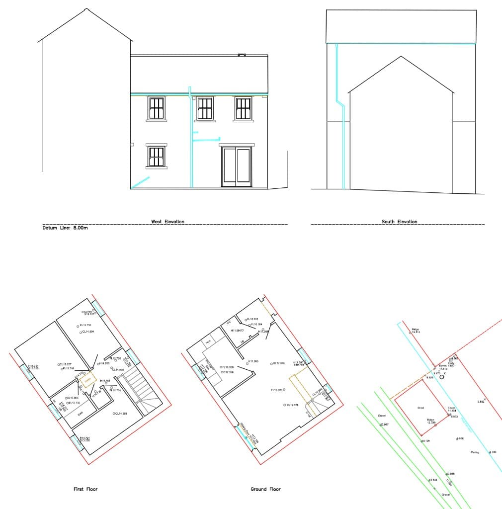
Measured Building Surveys
Measured building surveys record the geometry of existing structures — inside and out. Whether you're planning an extension, converting a barn, or producing record drawings, we deliver clean, architect-ready CAD.
What you get
- Floor plans, elevations and sections
- DWG files to your layer standards
- PDF sets and scaled plot drawings
Typical use cases
- Extensions and refurbishments
- Barn and listed building conversions
- As-built record drawings
- Space planning
Service
Measured Building Surveys
Boundary Surveys
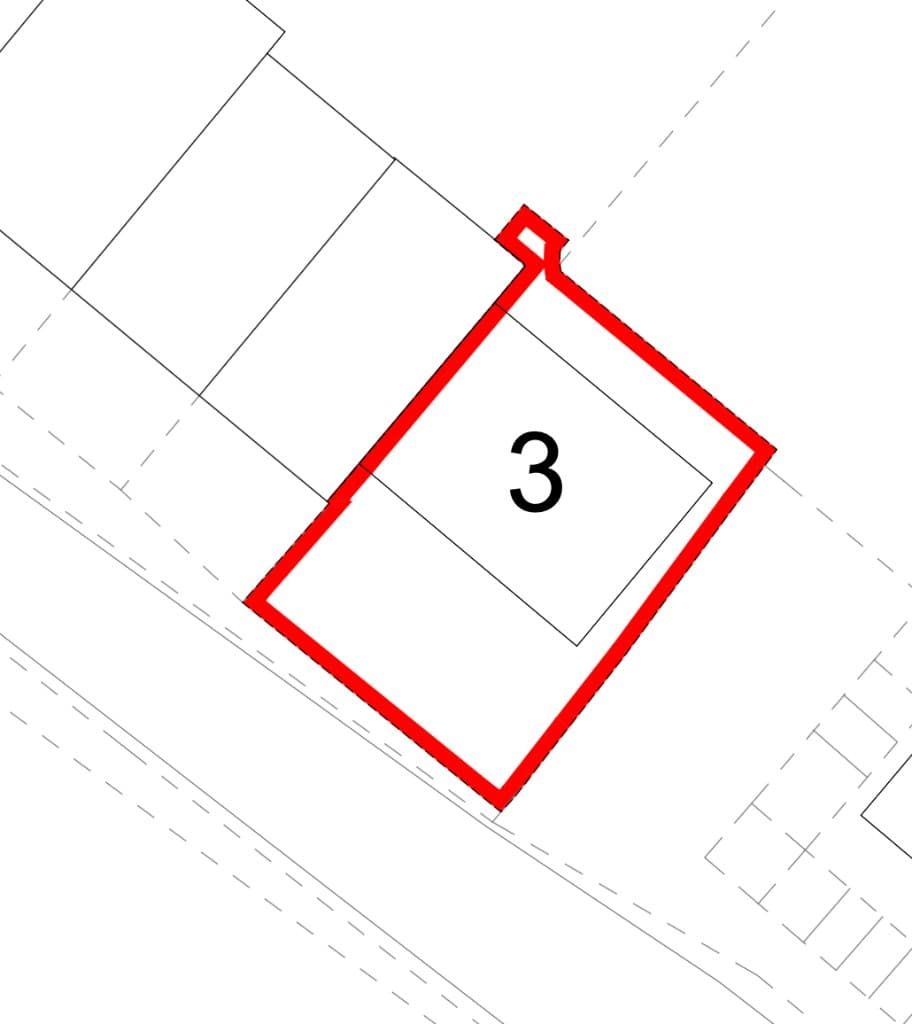
When the line on the title plan matters, we provide measured evidence on the ground. Boundary surveys are carried out to high accuracy and presented clearly for solicitors, and Land Registry submissions.
What you get
- Measured boundary plan
- Comparison against registered title
- All plans provided on OS maps
- Digital and printed plans
Typical use cases
- Land Registry submissions
- Boundary disputes (only where instructed by a solicitor)
- Pre-purchase due diligence
Service
Boundary Surveys
Ready to start your project?
Get in touch for a free, no-obligation quote.